


Tommies Militaria and Collectables
Fourth Edition Map Rangoon District 1944
Fourth Edition Map Rangoon District 1944
Couldn't load pickup availability

Product Condition
Product Condition
Shipping & Returns
Shipping & Returns
Shipping
We are unable to ship INERT ammunition outside of the UK
All orders are subject to a delivery, packing & handling charge. The correct charges will be automatically calculated via our Shopping basket ordering system and are based on the total weight of your order, your location, and our normal method of despatch. Please be aware that we reserve the right to alter any miscalculation, plus or minus, and you will be notified prior to shipping of any changes.
When shipping items, we use the UK Royal Mail, EVRI, DPD and Parcel Force in the event of a parcel arriving with contents damaged ALL the packaging must be kept for inspection by the delivering shipping contractor whoever that contractor is, failure to adhere to this WILL result in ANY claim being denied.
We do ship internationally and will always use a Tracked and Signed for service. We strive to use the best and most economical shipping services available
All shipping, insurance and import charges will be borne by the customer.
All lots are shipped at the buyers risk no compensation will be offered for items lost or broken in transit. Alternatively you can pay for your own courier.

Product Description
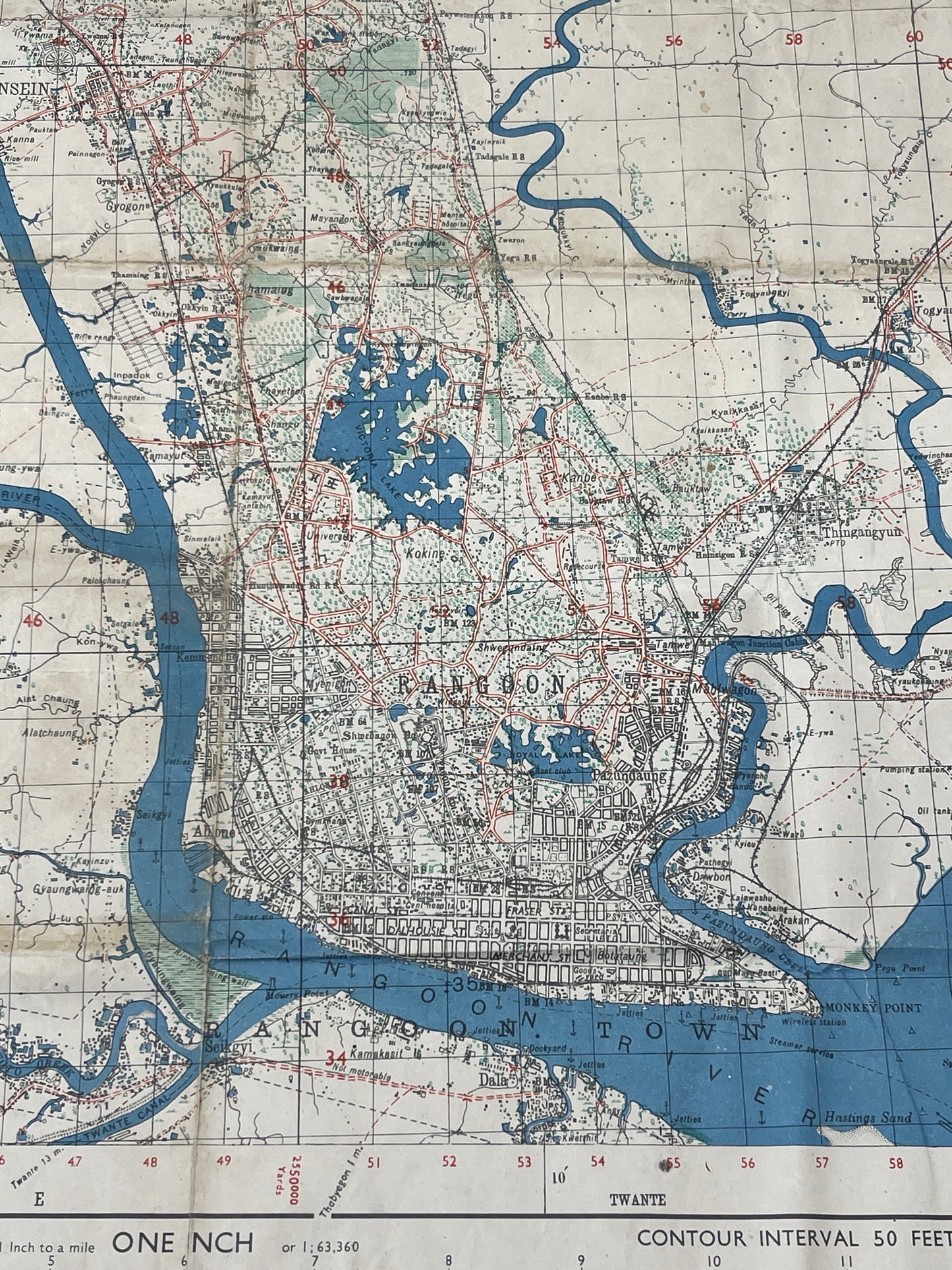
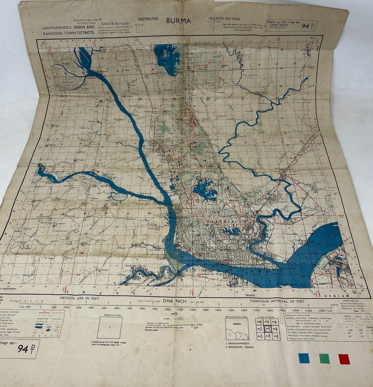
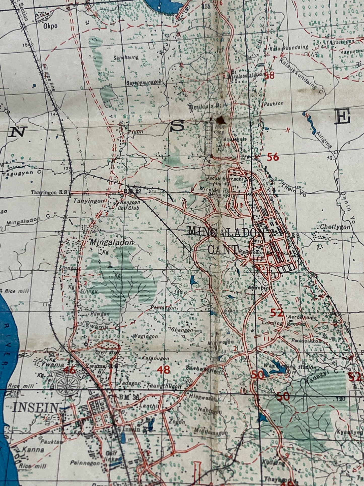
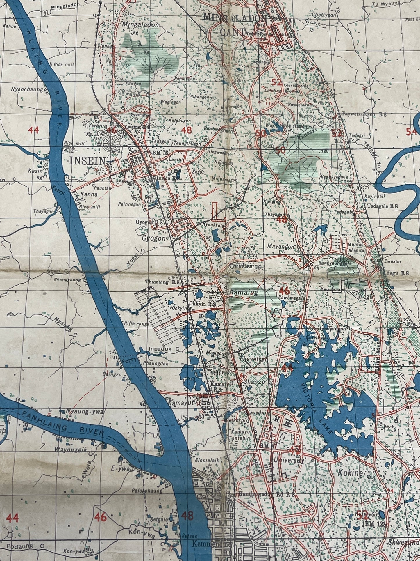
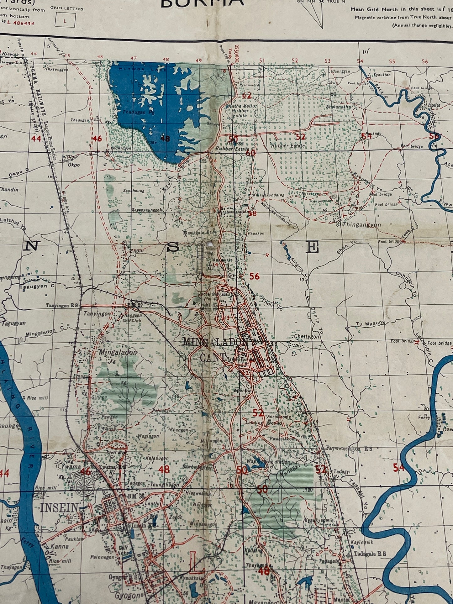
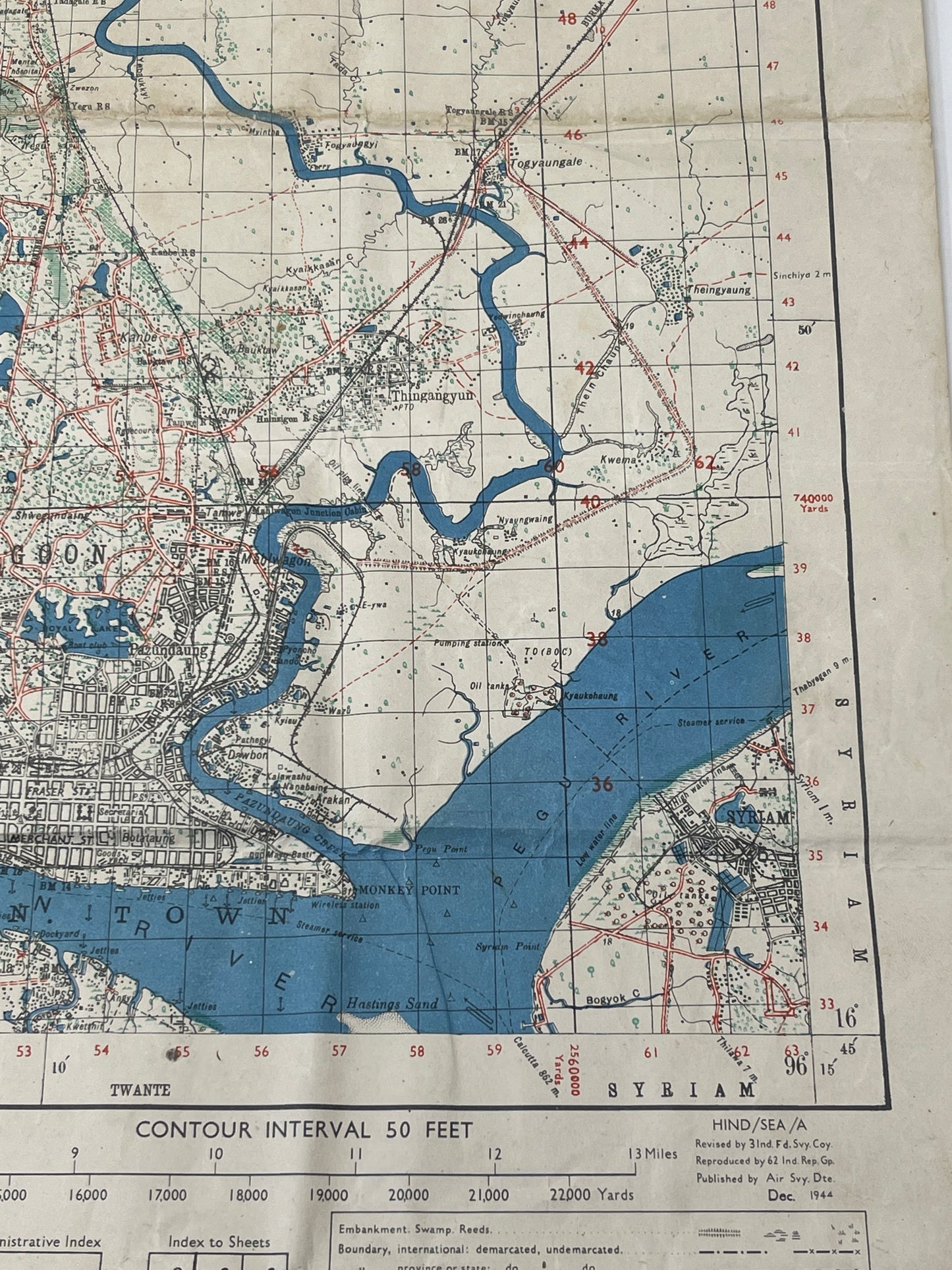
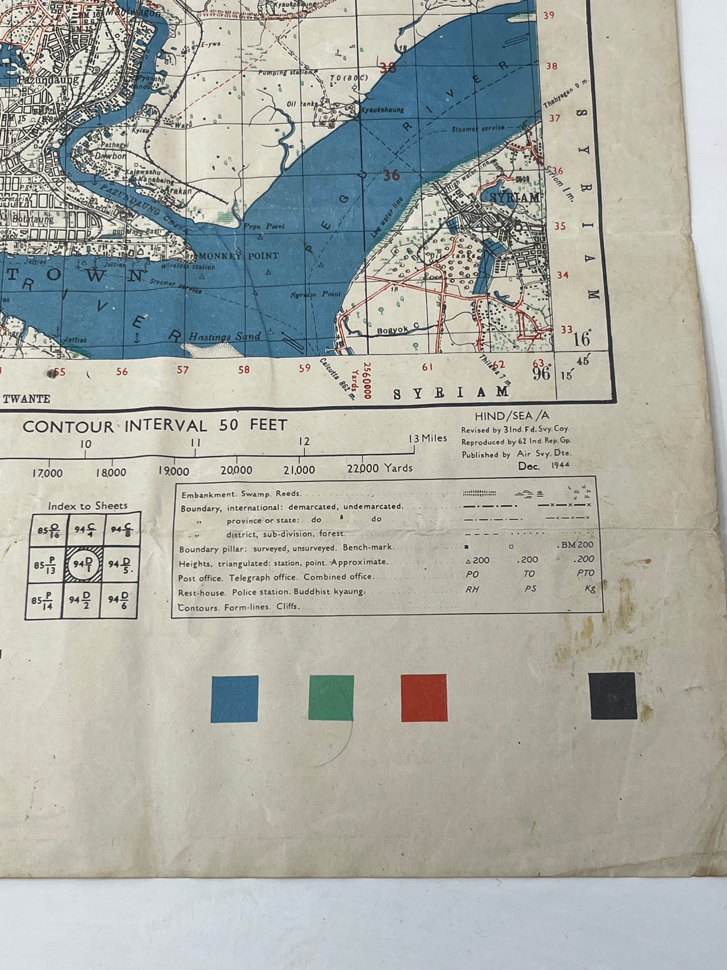
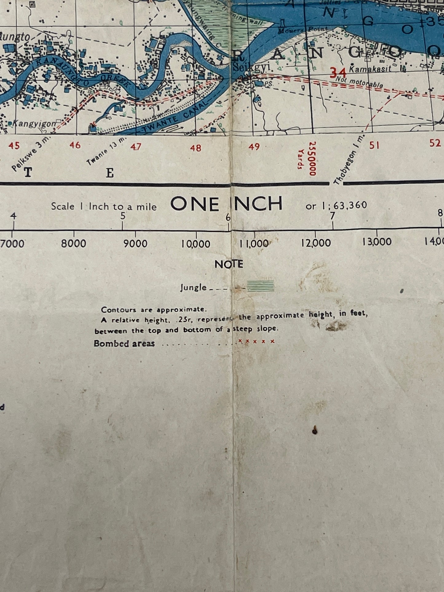
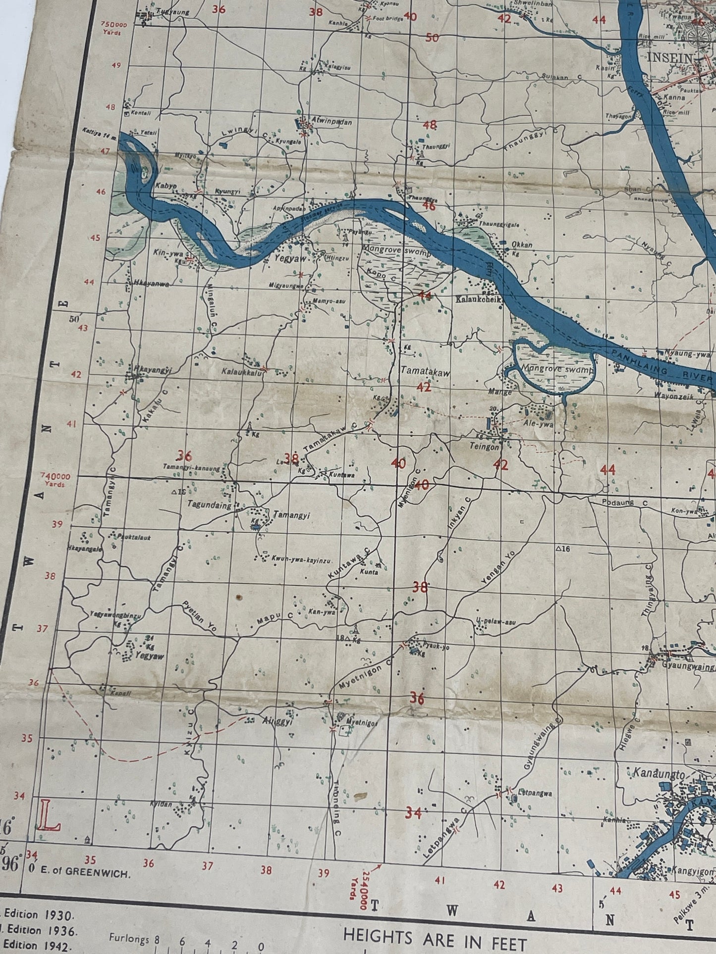
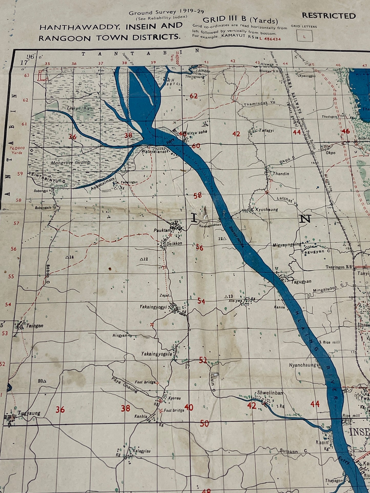
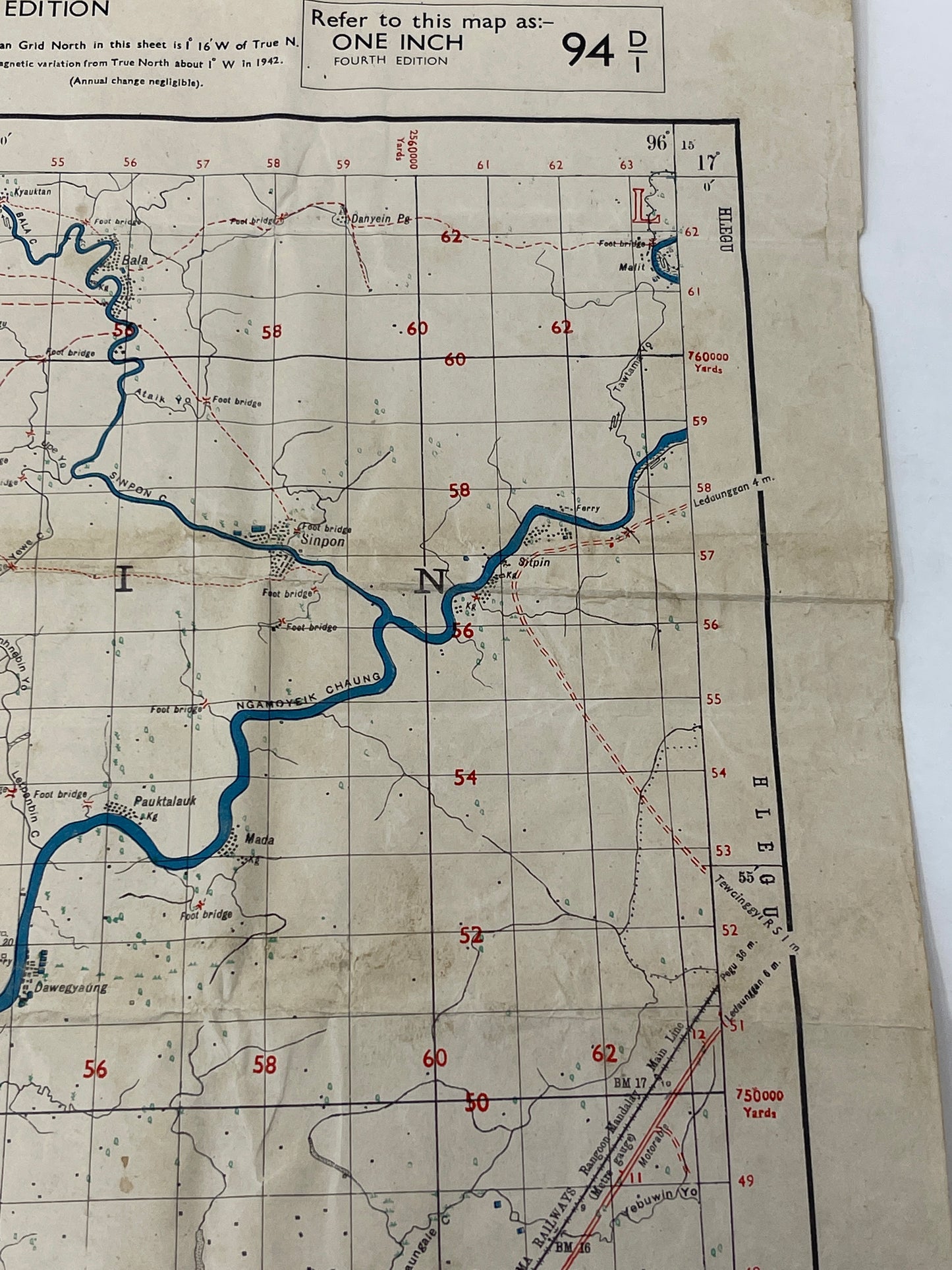
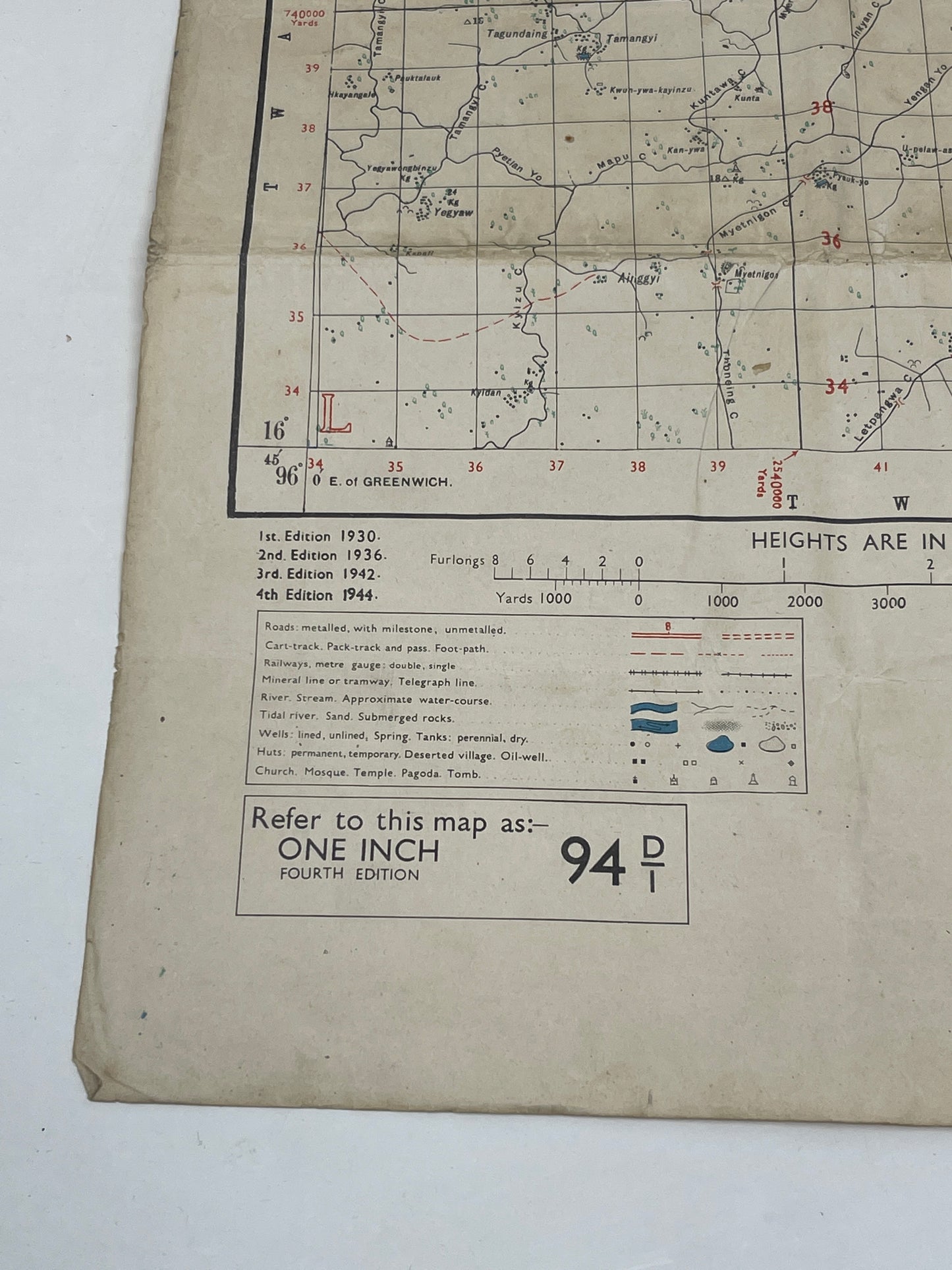
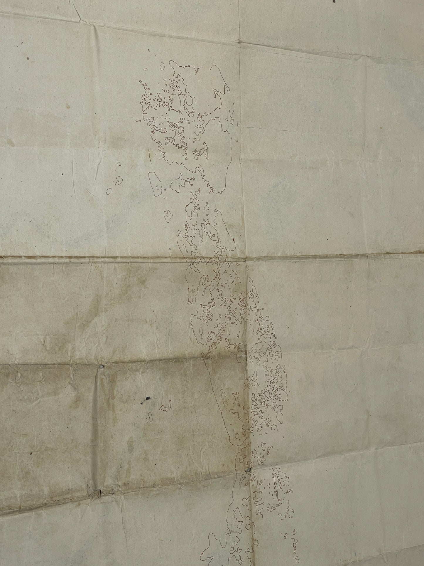
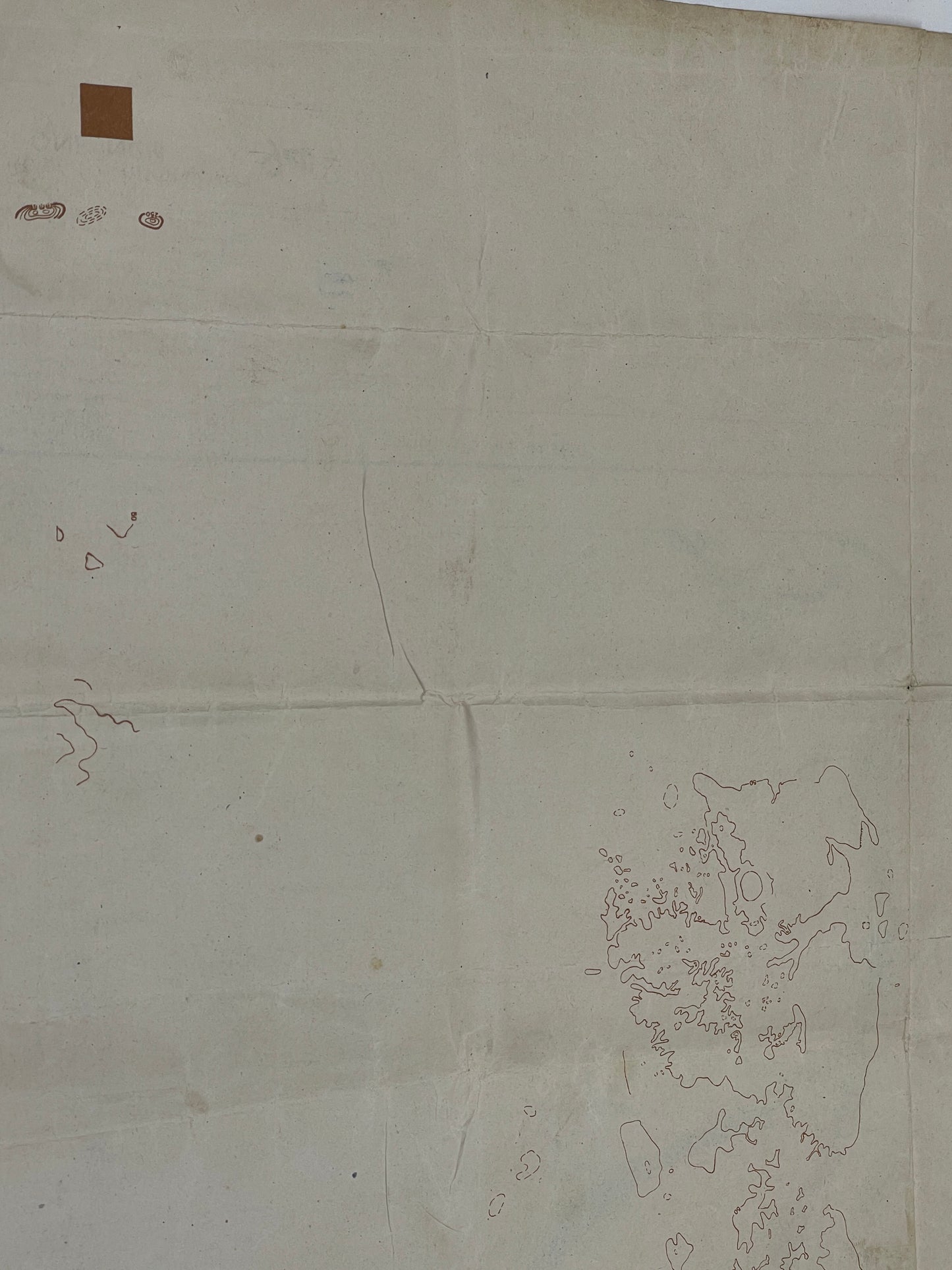
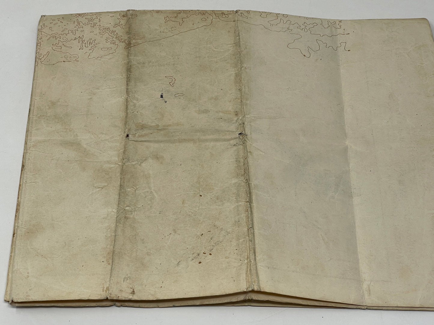
The British Fourth Edition Map of Burma Rangoon District, 1944, was a topographical map produced by the British military during World War II. The map was created to provide detailed information on the geography, terrain, and infrastructure of the Rangoon District in Burma.
The Fourth Edition of the map was produced in 1944, during the Burma Campaign of World War II. It was an updated version of the original map, with additional information added to reflect changes in the region since the start of the war.
The map was designed to be used by military personnel, particularly those involved in the Burma Campaign, to aid in planning military operations, movements, and supply lines. It was also used for navigation and reconnaissance purposes.
Today, the British Fourth Edition Map of Burma Rangoon District, 1944, is a valuable piece of historical memorabilia, providing a glimpse into the geography and infrastructure of the region during World War II. It is also a testament to the important role that maps played in military operations during the war.