-
 Coming Soon
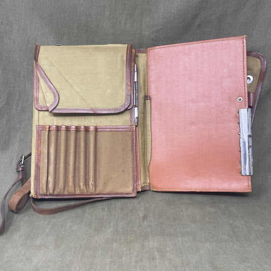
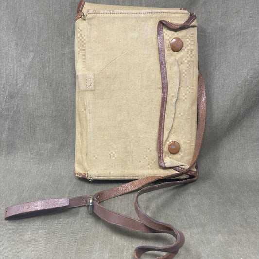
WW1 British Webbing Officers Map Case
Regular price £86.50 GBPRegular priceUnit price per -

 Coming Soon
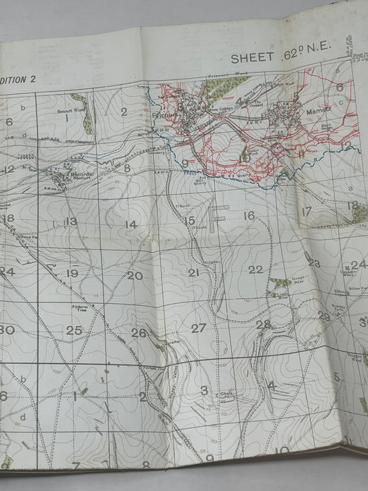
British WW1 Trench Map Sheet 62D N E Edition 2
Regular price £185.00 GBPRegular priceUnit price per -
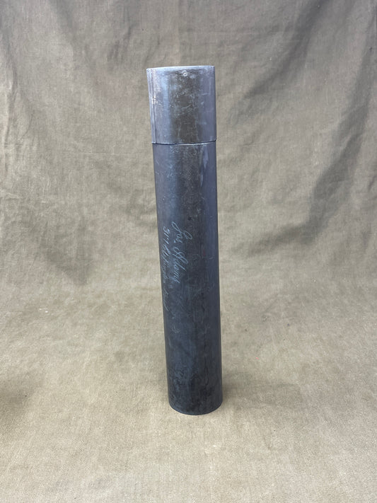
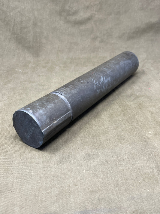
British Brass Map Tube WW1
Regular price £35.00 GBPRegular priceUnit price per -
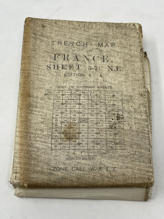
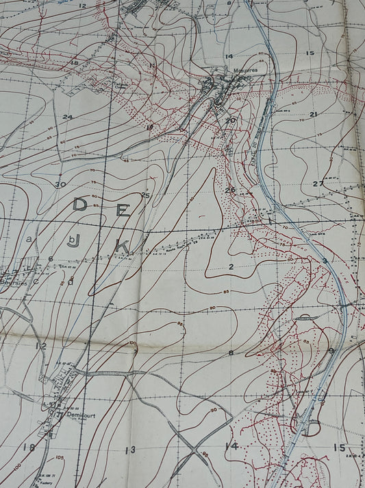
British WW1 Trench Map 57C NE Edition 4a Mouvres
Regular price £144.00 GBPRegular priceUnit price per